
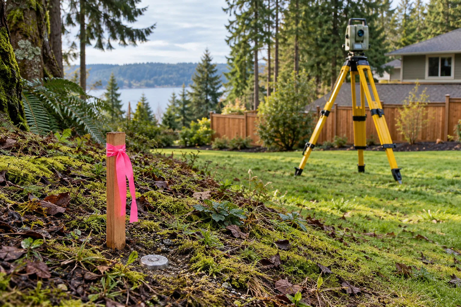
Start with the paperwork
- Find the parcel number and deed. Your tax statement or title paperwork can identify the parcel. Read the legal description and look for a recorded plat, survey or boundary adjustment reference.
- Ask the county auditor/recording office. Request recorded surveys and plats for that legal description. A tax parcel map helps identify the property but is not a boundary survey.
- Review your title report. It may reference easements, plats and survey exceptions. Ask the title company for copies of referenced documents; the report does not guarantee a survey was performed.
- Check the latest applicable records. Subdivision changes, boundary adjustments and newer surveys can affect an older sketch. Not every historical survey or corner is recorded or recoverable.
Look for possible corner markers
Use the survey’s monument descriptions and nearby references to decide where to look. An inexpensive metal detector can help find shallow steel pins in light cover; a survey magnetic locator may work better in difficult ground. A signal could also be a nail, scrap or utility item. Do not assume every piece of rebar is a corner.
Before disturbing soil, follow 811 and private-locate guidance. Gently clear surface cover where appropriate; do not drive probes blindly into the ground. Photograph the marker and any cap or number without moving, straightening or replacing it.
Use string for a visual reference only
Once a licensed surveyor has confirmed the relevant corners, a taut string between them can help visualize a straight boundary segment. Tie it to separate offset stakes so monuments are not disturbed. Slopes, curved boundaries, intermediate corners and easements can make a simple corner-to-corner line misleading.
A phone GPS, county aerial overlay or string between unconfirmed pins is not enough to settle a boundary or place permanent work. Do not clear trees, build a fence or resolve a dispute based only on a metal-detector find.
When to hire a surveyor
- A monument is missing, damaged or conflicts with another marker.
- You are installing a fence, retaining wall, building or driveway close to the boundary.
- An easement or road location is unclear.
- A neighbor disagrees with the line.
Ask for the boundary or construction staking needed for your project and keep the survey record. Confirming the line first is usually much simpler than moving completed work.
Take the information to your contractor
Share the survey, known monuments and any marked no-work area. Agree how the crew will protect markers and keep equipment inside the authorized limits. The contractor’s project layout should use the surveyor’s control where exact boundaries matter.
Further reading & product instructions
Residential resources used for these explanations. Follow the instructions for the product you actually choose.